Mahi-Mahi
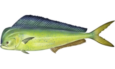
Coryphaena hippurus. Prime water reaches Cape Hatteras in Southeast Atlantic right now (82°F at the surface). Fish it 0–131 ft down — that is where 83–82°F water sits off Cape Hatteras.
The water column off Cape Hatteras
The strip is the water itself, coloured by temperature from the surface down to the 598 ft surveyed bottom at that spot — one band per RTOFS model level. The outlined stretch is where Mahi-Mahi's temperature band (75–90°F) and the depth it holds actually overlap. That thickness is the number that matters: it is how much water you can work, not just whether the spot is warm enough somewhere. One model cycle, not a weekly archive — this holds still while the surface map scrubs.
In 3D
How it's fished
Run and gun to weedlines, boards and birds; pitch ballyhoo or jigs.
Region by region — right now
| Region | Season | Prime water | Temp | Fish it at | Months |
|---|---|---|---|---|---|
| Mid-Atlantic | off-season | reaches Montauk | 75°F | — | J F M |
| Southeast Atlantic | in season | reaches Cape Hatteras | 82°F | 0–131 ft | J F M A M J J |
| Florida Keys | in season | reaches Islamorada | 86°F | 0–131 ft | J F M A M J J A S O N D |
| Gulf of Mexico | in season | reaches Tampa | 86°F | 0–131 ft | J F M A M J J |
| California | in season | — | — | — | J F M A |