California · ChartNav curated ground
Monterey Submarine Canyon
A deep canyon reaching into Monterey Bay — salmon and rockfish in the upwelling, albacore offshore in late summer.
What's biting here — right now
Prime water for Albacore & Opah (Moonfish) — 63°F on top, water moving now.
Today's bite
11:16 AM – 2:41 PM
Days ahead
Today
GO
9 kt
Sun
GO
9 kt
Mon
GO
8 kt
Tue
GO
9 kt
Wed
OK
seas 4.0 ft
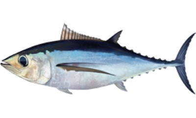
Albacore100
In season (Oct)
SST 63°F in the prime band (59–66°F prime)
Charted 2585 ft suits this species (328–6560 ft ideal)
No strong temperature break nearby
In NOAA-designated Essential Fish Habitat
Troll jigs at 6-8 kt on the warm side of clear blue-water breaks.
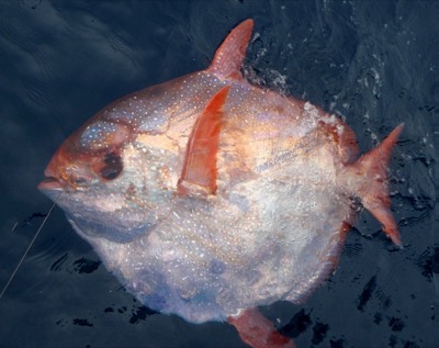
In season (Oct)
SST 63°F in the prime band (57–68°F prime)
Charted 2585 ft suits this species (656–3280 ft ideal)
No strong temperature break nearby
A deep-drop bycatch of the offshore swordfish drops rather than a target you can plan on.
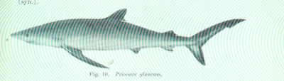
Blue Shark100
In season (Oct)
SST 63°F in the prime band (55–68°F prime)
Charted 2585 ft suits this species (131–3280 ft ideal)
No strong temperature break nearby
They find the chum slick on their own — circle hooks and a wire bite leader, then let them go.
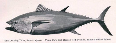
In season (Oct)
SST 63°F in the prime band (61–70°F prime)
Charted 2585 ft suits this species (328–6560 ft ideal)
No strong temperature break nearby
Glide the boat to foamers and sonar marks; flat-falls at night.
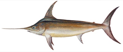
In season (Oct)
SST 63°F workable (64–81°F prime)
Charted 2585 ft suits this species (1148–8200 ft ideal)
No strong temperature break nearby
Deep-drop a rigged bait 350-500 m by day along canyon walls.
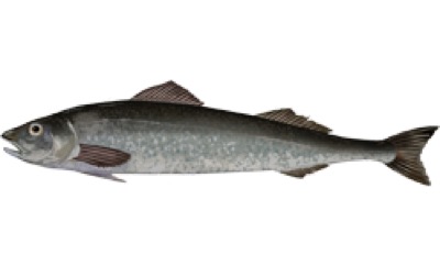
In season (Oct)
Bottom temperature unavailable here — surface water misreads a bottom fish, so temperature is not scored
Charted 2585 ft suits this species (984–2952 ft ideal)
Deep-drop bait on the slope in 1000-3000 ft — a long haul up for the best-eating fish out there.
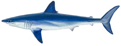
In season (Oct)
SST 63°F in the prime band (63–72°F prime)
Charted 2585 ft suits this species (131–1640 ft ideal)
No strong temperature break nearby
Chum slick on temperature breaks near bait concentrations.
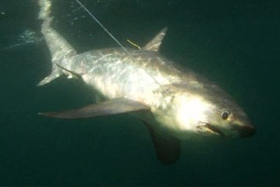
In season (Oct)
SST 63°F in the prime band (59–70°F prime)
Charted 2585 ft marginal for this species (98–1312 ft ideal)
No strong temperature break nearby
Slow-trolled bait or a chum slick where bait stacks on a break — they stun with the tail, so hook-ups run tail-first.
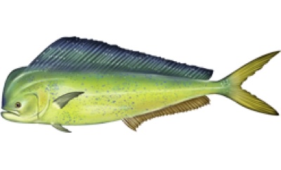
In season (Oct)
SST 63°F outside preference (75–86°F prime)
Charted 2585 ft suits this species (131–6560 ft ideal)
No strong temperature break nearby
Better near weedlines and floating debris, not bottom structure if you can find it
Run and gun to weedlines, boards and birds; pitch ballyhoo or jigs.
In season (Oct)
SST 63°F in the prime band (63–73°F prime)
Charted 2585 ft marginal for this species (20–197 ft ideal)
No strong temperature break nearby
Small jigs or a fly-lined bait through a boiling school; they show under working birds.
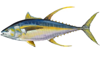
In season (Oct)
SST 63°F outside preference (72–84°F prime)
Charted 2585 ft suits this species (197–4920 ft ideal)
No strong temperature break nearby
In NOAA-designated Essential Fish Habitat
Troll skirted lures on blue-water edges, rips and canyon walls; chunk at night.
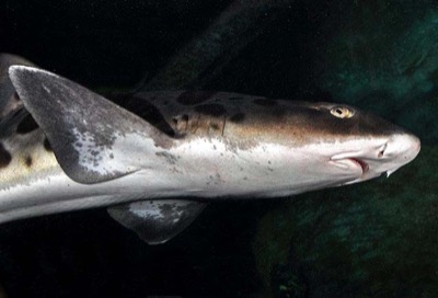
In season (Oct)
SST 63°F in the prime band (57–72°F prime)
Charted 2585 ft marginal for this species (7–82 ft ideal)
Squid or midshipman on the bottom in bays and shallow flats on a moving tide.
Live habitat-envelope scoring at this exact cell — SST, charted depth, charted structure and seabed, NOAA-designated habitat. The same engine and cards as tapping the spot in Fish mode.
Today's bite windows — moving water
Moving water right now — easing
11:16 AM – 2:41 PM
peak 12:59 PM · flood
peak 12:59 PM · flood
5:54 PM – 10:18 PM
peak 8:06 PM · ebb
peak 8:06 PM · ebb
1:46 AM – 5:51 AM
peak 3:49 AM · flood
peak 3:49 AM · flood
Derived from the tide at MONTEREY, MONTEREY BAY — flow peaks near mid-tide, goes slack near high and low. No tidal-current station within 10 nm of this spot. Timing only — it never changes the habitat scores above.
The week ahead — full forecast
Drag the graph for any hour — wind, gusts, seas & period, rain, predicted current. The pale band around the wind line is model disagreement; the day chips carry the verdict and the number that caused it; the moons are real phases.
Sea state right now — every train
Combined
3.2 ft @ 12 s
from WNW
Wind sea
0.0 ft
Swell 1
2.6 ft @ 9 s
from NW
Swell 2
1.1 ft @ 15 s
from SW · long-period groundswell
Swell 3
0.8 ft @ 9 s
from SSW
Buoy check — 46092 (MBM1, 1.4 nm): 9.7 kt observed vs 9 kt forecast · model agrees with the water
Wind: NBM 2.5km direct (69 h) → GFS 0.25° direct (3 h) → Open-Meteo blend (96 h) · Waves: GFS-Wave 0.16° (12Z cycle), full train decomposition · Confidence band: GEFS ensemble spread · Bite windows: CO-OPS tidal predictions
Water temperature — last 10 weeks
2026-07-24 → 2026-10-02 · 60–63°F
Best months here
J
F
M
A
M
J
J
A
S
O
N
D
Species in season by month for California (from the knowledge base). In season now: Coho (Silver) Salmon, Cabezon, California Halibut, Kelp Greenling, Pacific Sanddab, Black Rockfish, Canary Rockfish, Copper Rockfish, Lingcod, Sablefish (Black Cod).
Other grounds in California
Cortez Bank
California Yellowtail · White Seabass · Bluefin Tuna
Tanner Bank
California Yellowtail · Rockfish (complex) · Calico Bass (Kelp Bass)
Nine Mile Bank
California Yellowtail · Calico Bass (Kelp Bass) · Yellowfin Tuna
The Farallon Islands
Rockfish (complex) · Lingcod · Chinook (King) Salmon
Reuse welcome with attribution. Weekly regional report: California · Feed: RSS · all US grounds: /fishing.