New England · ChartNav curated ground
Cape Cod Canal (East End)
The famous current-swept ditch — big striped bass ambush the moving tide, best on the breaking dawn.
What's biting here — right now
Prime water for Black Sea Bass & Tautog — 62°F on the bottom, charted rock, water moving until 10:00 PM.
Today's bite
dusk bite todayDays ahead
Today
GO
5 kt
Mon
OK
gusts 20 kt
Tue
OK
gusts 19 kt
Wed
OK
wind 13 kt
Thu
ROUGH
gusts 30 kt
5:30 PM – 10:00 PM · dusk bite
3 kts at 7:00 PM
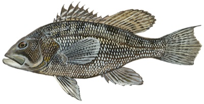
In season (Oct)
Bottom temp 62°F at 0 ft in the prime band (46–72°F prime)
No charted depth at this point
Hard bottom here — charted rock 204 m away
Squid or clam on hi-lo rigs directly over wrecks, reefs and rockpiles.
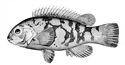
Tautog92
In season (Oct)
Bottom temp 62°F at 0 ft in the prime band (45–64°F prime)
No charted depth at this point
Hard bottom here — charted rock 204 m away
Green crabs tight to rocks, mussel beds and wreck rubble; light tide.
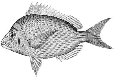
In season (Oct)
Bottom temp 62°F at 0 ft in the prime band (46–70°F prime)
No charted depth at this point
Hard bottom nearby — charted rock
Small hooks with squid or worms over hard bottom and mussel beds.
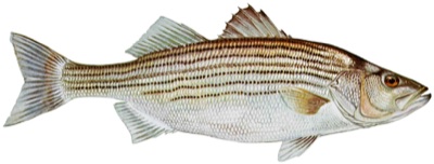
In season (Oct)
SST 63°F in the prime band (54–68°F prime)
No charted depth at this point
Hard bottom nearby — charted rock
Live bait or plugs on rips, ledges and boulder fields; dawn/dusk moving tide.
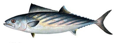
In season (Oct)
SST 63°F in the prime band (63–73°F prime)
No charted depth at this point
No strong temperature break nearby
Trolled small feathers or cast metals around bait; moving water.
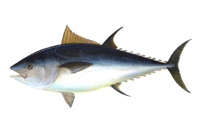
In season (Oct)
SST 63°F in the prime band (59–72°F prime)
No charted depth at this point
No strong temperature break nearby
Troll, chunk or jig where bait stacks on temperature breaks and ledges.
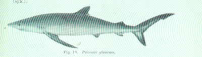
In season (Oct)
SST 63°F in the prime band (55–68°F prime)
No charted depth at this point
No strong temperature break nearby
They find the chum slick on their own — circle hooks and a wire bite leader, then let them go.
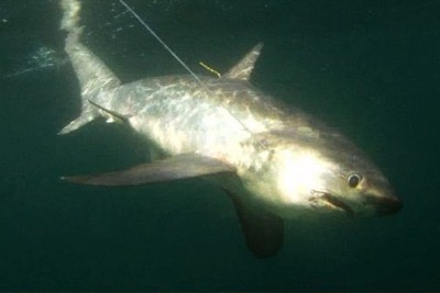
In season (Oct)
SST 63°F in the prime band (59–70°F prime)
No charted depth at this point
No strong temperature break nearby
Slow-trolled bait or a chum slick where bait stacks on a break — they stun with the tail, so hook-ups run tail-first.
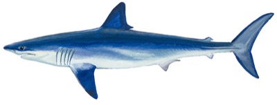
In season (Oct)
SST 63°F in the prime band (63–72°F prime)
No charted depth at this point
No strong temperature break nearby
Chum slick on temperature breaks near bait concentrations.
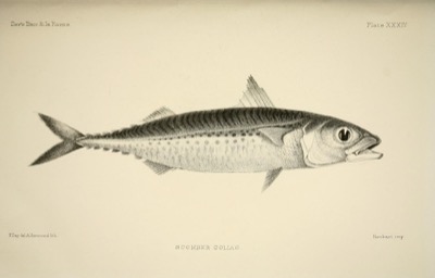
In season (Oct)
SST 63°F in the prime band (63–75°F prime)
No charted depth at this point
Near the northern edge of its range (regular north to about 41.5°N)
No strong temperature break nearby
Small metals or sabikis around bait balls on the edge — a late-summer arrival that draws everything bigger.
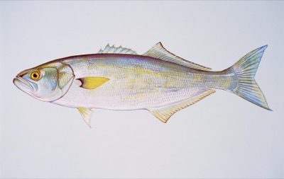
Bluefish67
In season (Oct)
SST 63°F workable (64–75°F prime)
No charted depth at this point
Metal lures or poppers through bait schools and birds; wire leader.
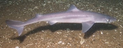
In season (Oct)
SST 63°F workable (43–59°F prime)
No charted depth at this point
Impossible to avoid once they move in — move off the pack or switch to a bait they cannot swallow.
Live habitat-envelope scoring at this exact cell — SST, charted depth, charted structure and seabed, NOAA-designated habitat. The same engine and cards as tapping the spot in Fish mode.
Today's bite windows — moving water
Moving water right now — 2.85 kt, building
5:30 PM – 10:00 PM
3 kts · 7:00 PM
3 kts · 7:00 PM
11:30 PM – 4:30 AM
3 kts · 2:00 AM
3 kts · 2:00 AM
6:00 AM – 10:30 AM
2.9 kts · 7:30 AM
2.9 kts · 7:30 AM
Tidal stream at Cape Cod Canal, east end (0.5 nm away), peak today 3.4 kt — same arrows and curve as the current stations on the main chart. Shaded spans of the curve are the windows. Moving water concentrates bait and turns fish on; slack is the lull. Timing only — it never changes the habitat scores above.
The week ahead — full forecast
Drag the graph for any hour — wind, gusts, seas & period, rain, predicted current. The pale band around the wind line is model disagreement; the day chips carry the verdict and the number that caused it; the moons are real phases.
Sea state right now — every train
Combined
1.2 ft @ 4 s
from NE
Wind sea
1.2 ft @ 4 s
from ENE
Swell 1
0.0 ft
Swell 2
0.0 ft
Swell 3
0.0 ft
Wind: NBM 2.5km direct (68 h) → GFS 0.25° direct (4 h) → Open-Meteo blend (96 h) · Waves: GFS-Wave 0.16° (12Z cycle), full train decomposition · Confidence band: GEFS ensemble spread · Bite windows: CO-OPS tidal predictions
Water temperature — last 10 weeks
No recent SST for this cell.
Best months here
J
F
M
A
M
J
J
A
S
O
N
D
Species in season by month for New England (from the knowledge base). In season now: Black Sea Bass, Golden Tilefish, Monkfish (Goosefish), Red Hake (Ling), Scup (Porgy), Silver Hake (Whiting), Tautog, White Hake, Acadian Redfish, Atlantic Cod.
Other grounds in New England
Stellwagen Bank
Striped Bass · Bluefin Tuna · Bluefish
Jeffreys Ledge
Atlantic Cod · Pollock · Bluefin Tuna
Cashes Ledge
Atlantic Cod · Pollock · Haddock
Georges Bank
Atlantic Cod · Haddock · Bluefin Tuna
Nantucket Shoals
Bluefish · Striped Bass · Bluefin Tuna
Cox Ledge
Black Sea Bass · Striped Bass · Atlantic Cod
Reuse welcome with attribution. Weekly regional report: New England · Feed: RSS · all US grounds: /fishing.