Briefing
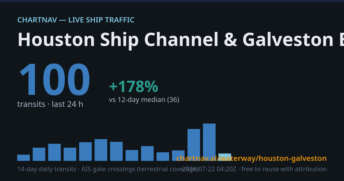
Per the latest NHC advisory, Post-Tropical Cyclone Bertha sits near 30.0N 96.0W with winds of 30 kt and central pressure 1008 mb, moving west at 14 kt. The system weakened over July 23, dropping from a 35 kt tropical storm through tropical depression to post-tropical status. ChartNav's monitor records a steep drop on the Houston Ship Channel & Galveston Bay, with a July 27 metric alert showing 9 transits against a 38-ship 17-day median, a 76% decline, after a July 26 12:50 alert logged 9 transits versus a 41-ship median. The Lower Mississippi River registered zero transits over the past 24 hours, matching its zero median, though a July 25 presence alert flagged 136 vessels, a 30% rise above the 105 median. The event remains active since July 19.
30
Transits (24 h)
-28%
vs 30-day median
—
Vessels in zone
—
Underway now
Data & citation
Transit counts are gate-line crossings computed hourly from ChartNav's own live AIS network (terrestrial receivers; coverage varies by zone — the coverage figure above says how complete the picture is, and reporting gaps are only flagged for vessels that were underway and stopped reporting globally). Baselines are rolling medians of complete days. Numbers may differ from weekly satellite-AIS datasets such as IMF PortWatch, which lag by several days but see areas terrestrial receivers cannot.
Reuse is welcome with attribution and a link. Feed: RSS · Download: daily metrics CSV · Share card: auto-updating PNG · Embed: <iframe src="https://chartnav.ai/embed/zone/houston-galveston" width="600" height="400"></iframe> · Cite: chartnav.ai/waterway/houston-galveston
Reuse is welcome with attribution and a link. Feed: RSS · Download: daily metrics CSV · Share card: auto-updating PNG · Embed: <iframe src="https://chartnav.ai/embed/zone/houston-galveston" width="600" height="400"></iframe> · Cite: chartnav.ai/waterway/houston-galveston